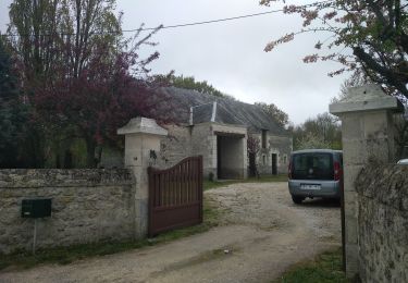
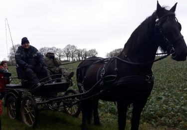
17 km | 18,3 km-effort
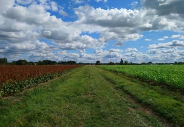
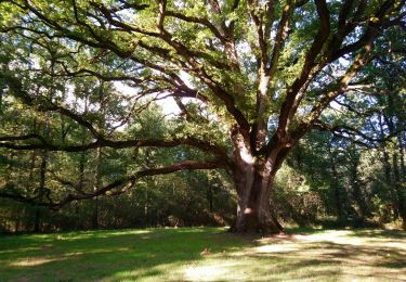
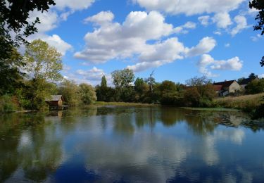
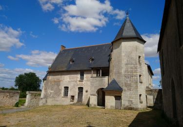
Étang du Louroux
SityTrail - itinéraires balisés pédestres
Tous les sentiers balisés d’Europe GUIDE+
Lunghezza
5,5 km
Altitudine massima
106 m
Dislivello positivo
23 m
Km-Effort
5,8 km
Altitudine minima
96 m
Dislivello negativo
24 m
Boucle
Sì
Tag
Data di creazione :
2022-02-15 13:44:42.383
Ultima modifica :
2022-03-02 15:52:48.008
1h19
Difficoltà : Facile
Applicazione GPS da escursionismo GRATUITA
Chi siamo
Percorso A piedi di 5,5 km da scoprire a Centro, Indre-et-Loire, Le Louroux. Questo percorso è proposto da SityTrail - itinéraires balisés pédestres.
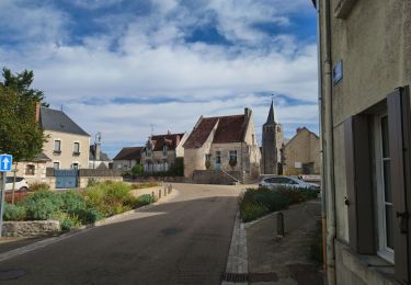
Localizzazione
Paese:
France
Regione :
Centro
Dipartimento/Provincia :
Indre-et-Loire
Comune :
Le Louroux
Località :
Unknown
Partenza:(Dec)
Partenza:(UTM)
332035 ; 5225142 (31T) N.
Commenti
Percorsi nelle vicinanze
le Louroux - variante PR Boucle 2 - 17km 105m 3h45 (45mn) - 2023 09 27
Marcia
Facile
Le Louroux,
Centro,
Indre-et-Loire,
France
3h 45min
Sì
Louans - les Trois Chênes - 13.1km 55m 3h00 (40mn) - 2023 09 22
Marcia
Facile
Louans,
Centro,
Indre-et-Loire,
France
13,1 km | 13,9 km-effort
3h 0min
Sì
Louans - PR Grande boucle - 17.2km 80m 3h30 - 2020 10 10
Marcia
Facile
Louans,
Centro,
Indre-et-Loire,
France
17,2 km | 18,2 km-effort
3h 30min
Sì
Saint-Bauld - La Vallée de l'Echandon - 16.4km 170m 3h35 - 2020 09 26
Marcia
Facile
Tauxigny-Saint-Bauld,
Centro,
Indre-et-Loire,
France
16,4 km | 18,7 km-effort
3h 35min
Sì
Le Louroux - boucle 1 - 20.9km 100m 4h45 (35mn) - 2019 07 28
Marcia
Facile
Le Louroux,
Centro,
Indre-et-Loire,
France
21 km | 22 km-effort
4h 45min
Sì
le Louroux
Marcia
Molto facile
Le Louroux,
Centro,
Indre-et-Loire,
France
21 km | 0 m-effort
5h 55min
Sì
Manthelan
Marcia
Facile
Manthelan,
Centro,
Indre-et-Loire,
France
9,2 km | 9,9 km-effort
2h 1min
Sì
St Bauld
Marcia
Facile
Tauxigny-Saint-Bauld,
Centro,
Indre-et-Loire,
France
10,8 km | 11,9 km-effort
2h 38min
Sì